Create map illustrations for your brand
Turn place ideas into flat vector-style artwork in seconds. Set colours, labels and landmarks, then download high-resolution files ready for web or print.
1,500+ illustrations created today
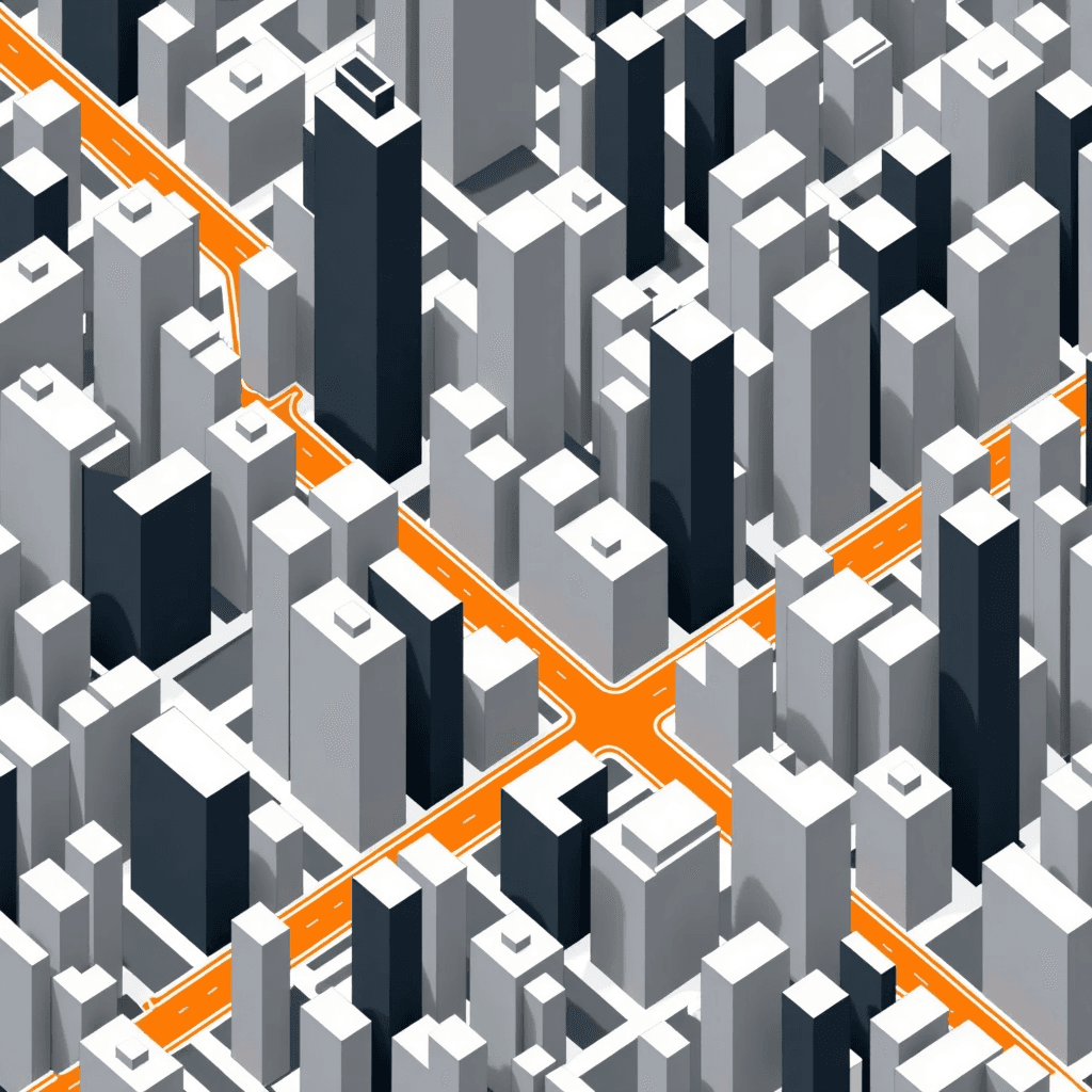
Why Create map Illustrations Here
On-brand palettes and styles
Pick colours, line weight and icon accents so each map lands in your brand’s look while keeping a flat vector-style finish.
Fast from brief to artwork
Type a place and key landmarks and get options in seconds, ready to iterate or approve.
Consistent series
Generate multiple maps with matching style for guides, apps and presentations without starting from scratch each time.
Commercial licence included
Use every illustration in client work, marketing or merchandise. No extra steps needed.
How to Make map Illustrations in 3 Steps
Describe the place, set the look, and export a high-resolution PNG ready for your project.
Describe the place
Name the city, area or venue, add key streets, landmarks and any labels you want visible.
Set the style
Choose colours, line weight and icon accents. Pick an aspect ratio to fit your layout.
Generate and download
Review variants, make quick tweaks, then download high-resolution PNG files.
map Illustrations Made With This Style
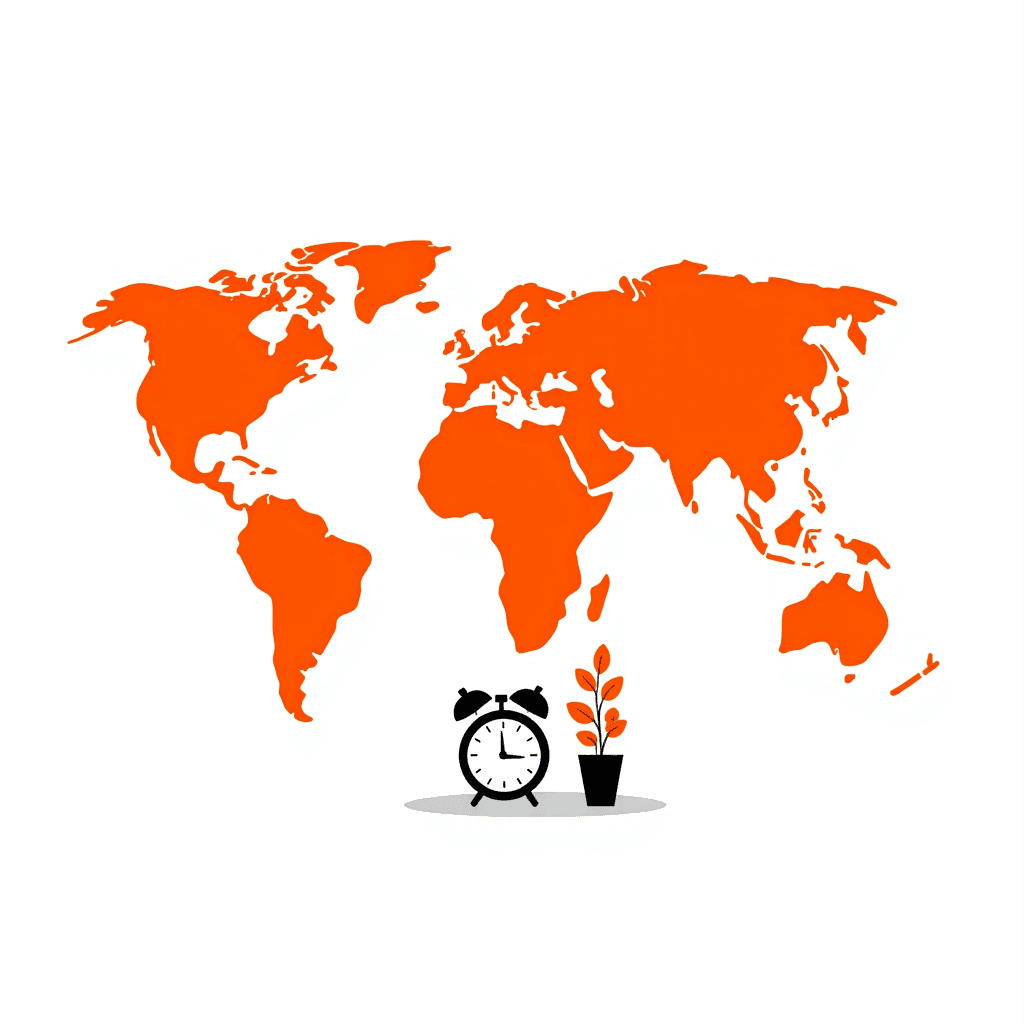
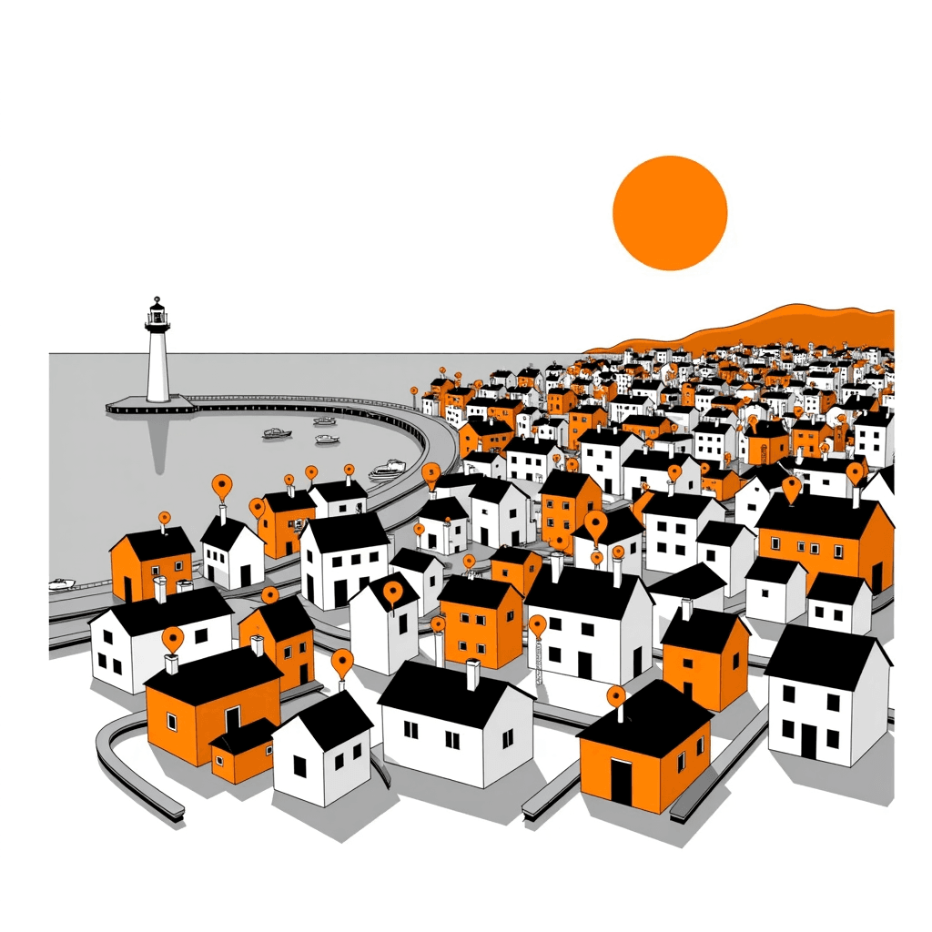
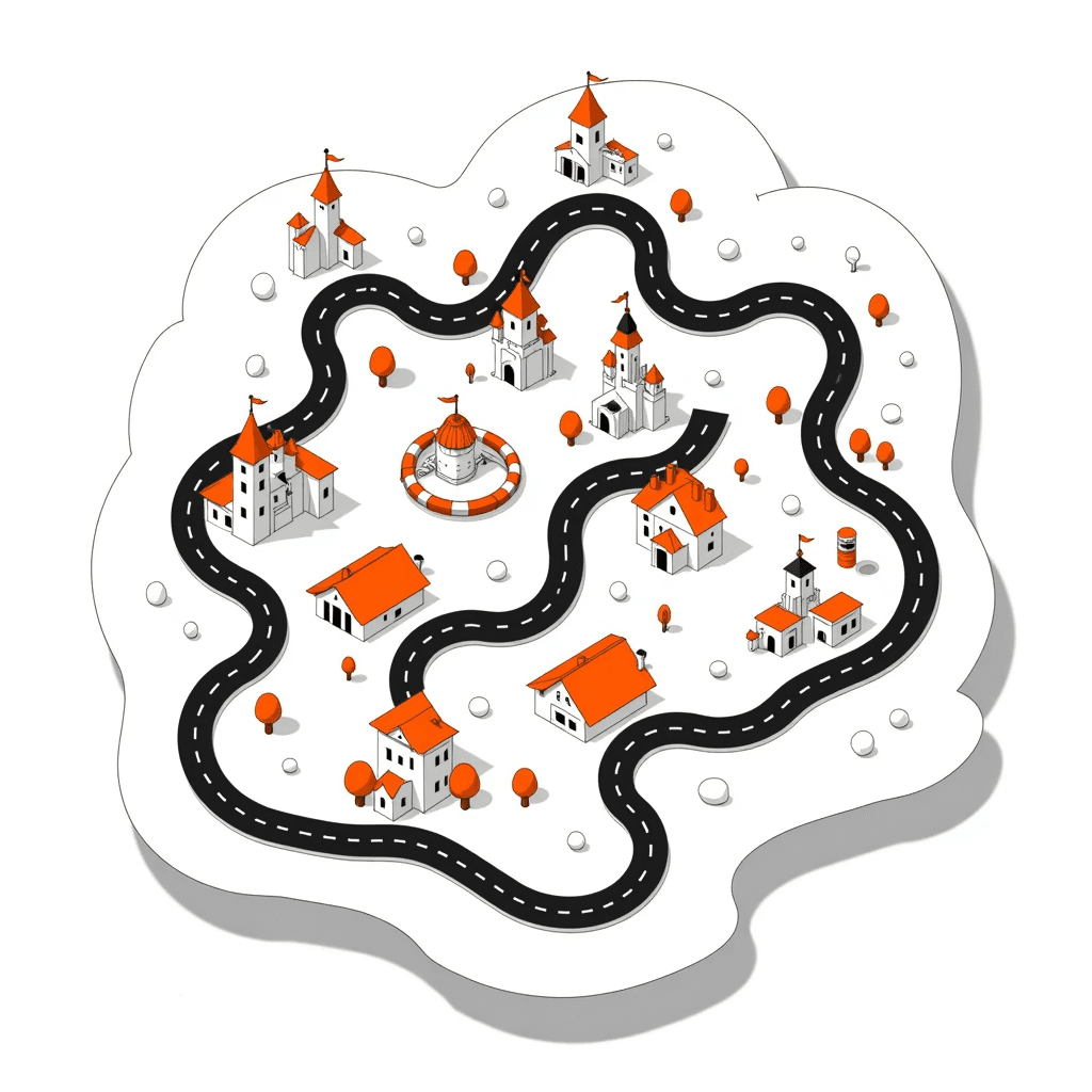
These examples show flat vector-style artwork suitable for web, slides and print pieces.
What Our Users Say
“I produced a series of neighbourhood maps in a flat vector-style that matched my blog palette perfectly. The high-resolution PNGs printed cleanly in my city guide.”
“Created a venue map with clear paths, icons and labels for our programme. Quick tweaks to colours made it fit the rest of our materials.”
“Used it for a stylised world map screen. The consistent look across regions saved time and the PNG exports dropped straight into my UI.”
Make your map illustration now
Describe the place and style, then get a flat vector-style map with a commercial licence.
- 1Describe the location and landmarks
- 2Pick colours and aspect ratio
- 3Generate and download your PNG
Create Your map Illustration
Takes about 20 seconds.
Aspect ratioNo credit card required to start
Frequently Asked Questions
It generates flat vector-style artwork, ideal for guides, apps, decks and posters. You can set colour palettes, line weight and icon accents to suit your brand.
They are stylised illustrations guided by your prompt, not GIS-accurate cartography. For recognisable layouts, include key streets, neighbourhoods, landmarks and desired orientation (e.g., north up).
Yes. Every generated illustration comes with a commercial licence, so you can use the PNG files in client work, marketing, apps and print without extra steps.
You will download high-resolution PNG files. The look is flat vector-style, but the output is a raster PNG rather than an editable vector file.
Yes. Specify colours and style cues in your prompt and adjust options before download. Add label text and the types of icons you want to appear for landmarks.
Name the place and include the main features you want visible—street names, rivers, parks, districts and signature buildings. If scale matters, mention distances or relative sizes in plain terms.
Explore Other Illustration Styles
tree illustration
Create flat vector-style tree illustrations in seconds. High-resolution files with a commercial licence, ready for websites, presentations, and social posts.
Explore this style
butterfly illustration
Create flat vector-style butterfly illustrations in seconds. Download high-resolution PNG files with a commercial licence. Perfect for web, print, and packaging.
Explore this style
books illustration
Create flat vector-style books illustrations in seconds. High-resolution files with a commercial licence. Type a prompt and get clean, brand-ready PNG artwork.
Explore this style